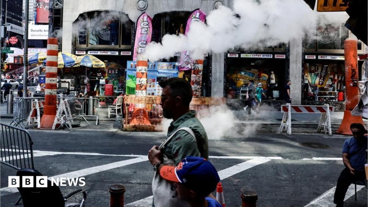
Another one. Just when we thought July 4th was the peak. Large swathes of North America are choking on it. High temperatures, bad air. It’s sticky. It’s relentless.
Tuesday started the shift. Wednesday just keeps it going. Toronto. Boston. Philly. Even Buffalo, which sits pretty far west for this kind of misery, has millions under advisories.
The west coast? They already survived their turn. Now it’s the East Coast’s problem.
A massive high-pressure system is rolling eastward across the US and Canada. Think of it like a dome. Hot air trapped under a lid. This same dome smashed records in Montana and Utah. Now it’s moving toward the crowd.
The northern Plains, the Midwest, and the Northeast are getting hammered.
Chicago hits 97F on Wednesday. That is hot. But look further east. New York might hit 100F. Washington DC could see 102F. With the humidity clinging to your shirt, it feels worse than the thermometer says. You have to stay outside? Maybe rethink that.
Canada’s central and eastern bits have been sweltering too. But there’s a reprieve coming. A cold front is marching in over the next few days. Temps drop. Air clears.
But not quietly.
That cold front brings thunder. Severe kind. Parts of New England might catch some lightning with their drop in temperature. By the weekend, those thundery conditions spread wider across eastern North America.
Does it solve the heatwave? Sort of. It pushes away the worst of it. But things stay warmer than normal for the season. We keep cooking slowly.
Will we adapt? Probably. Until the next dome drops.